Iona and the New MUP
Iain writes:-
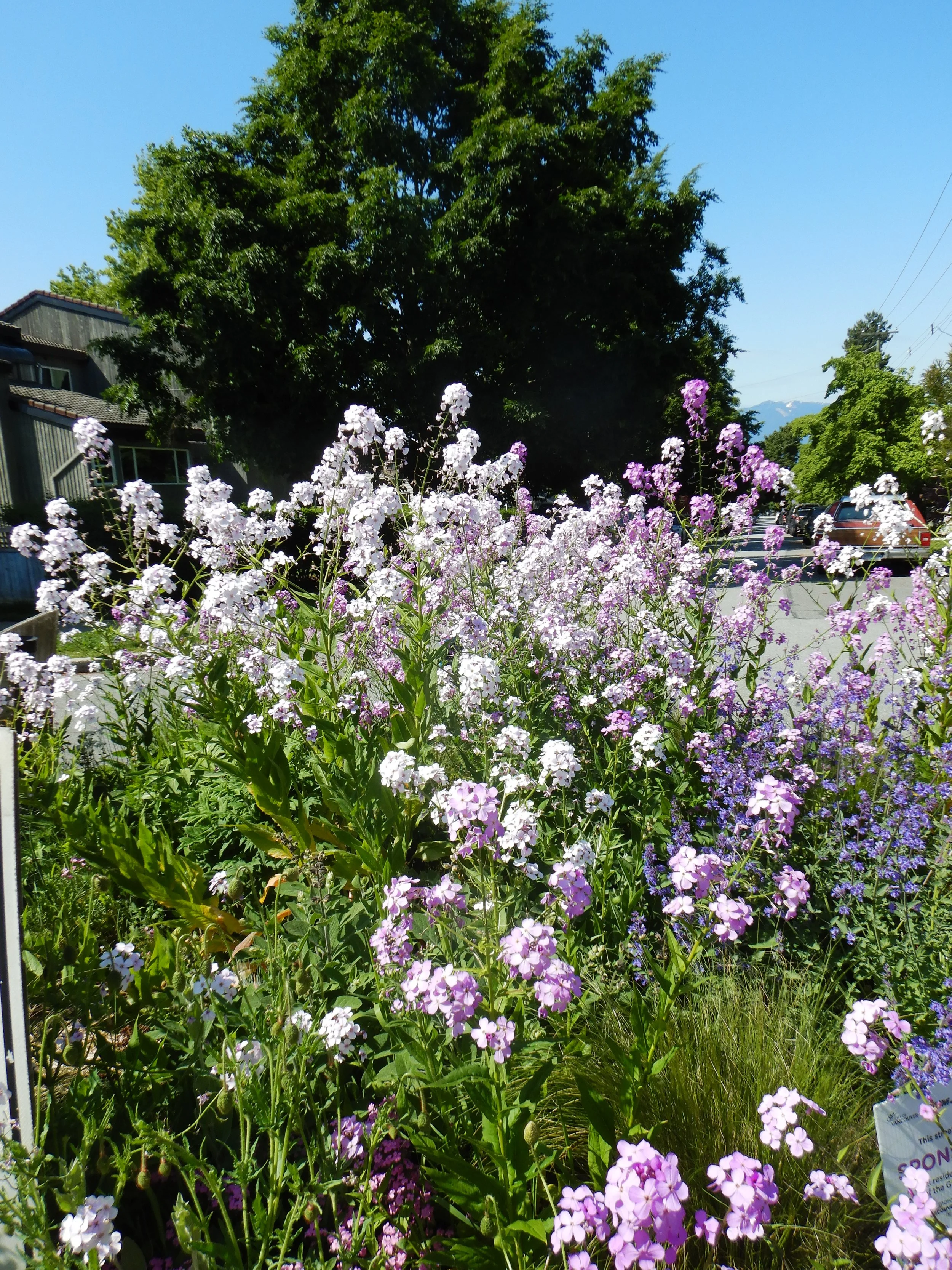
Well, we had a fabulous day for it. Seven of us met at Waterfront Station for the steady uphill climb on Ontario to 40th before the downwards ride to the Canada Line bridge. The Farmers’ market on Ontario, in Riley Park, was our first big stop where various treats were purchased, although regrettably my suggestion of treats for the ride leader fell on deaf ears.
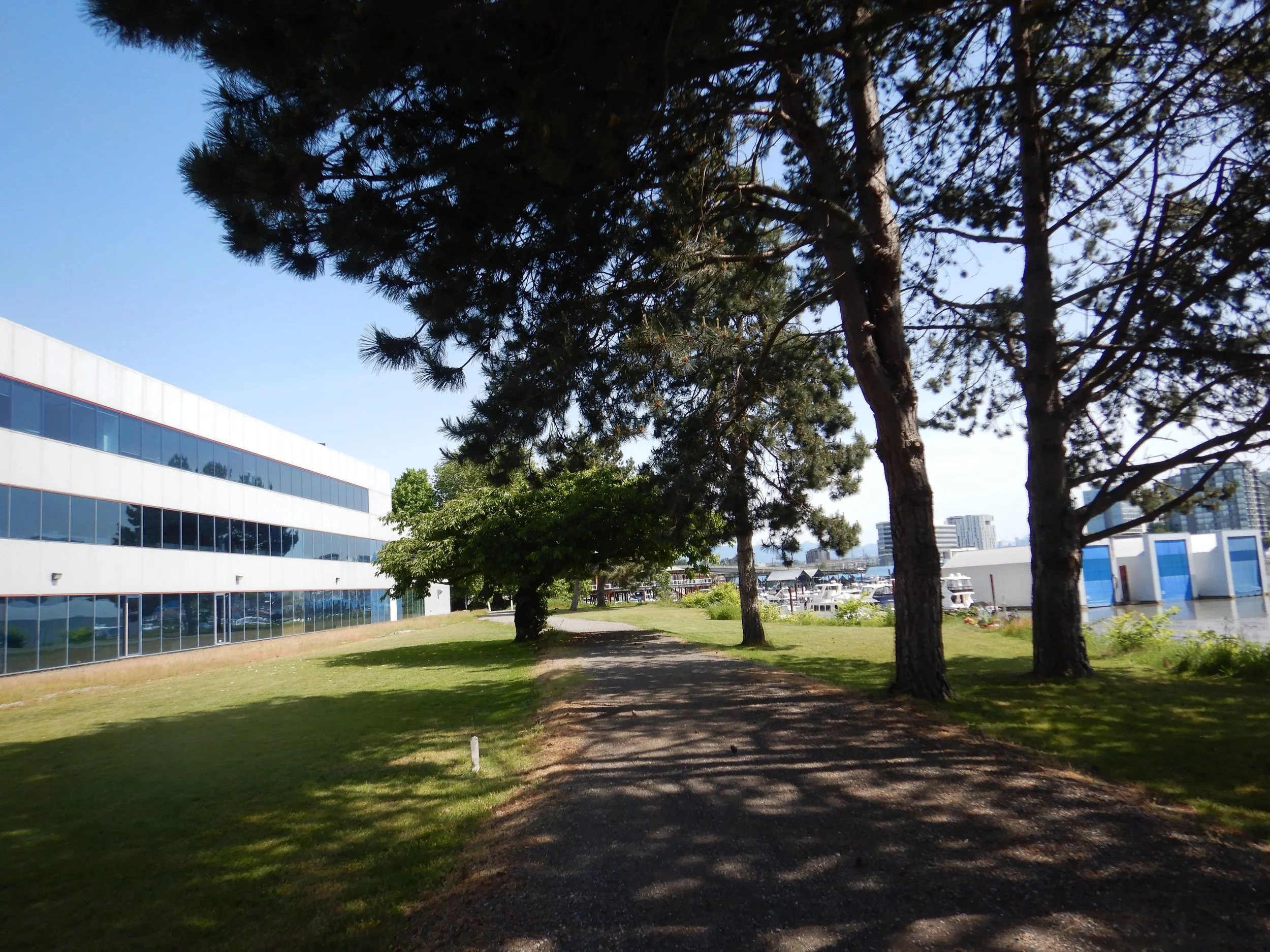
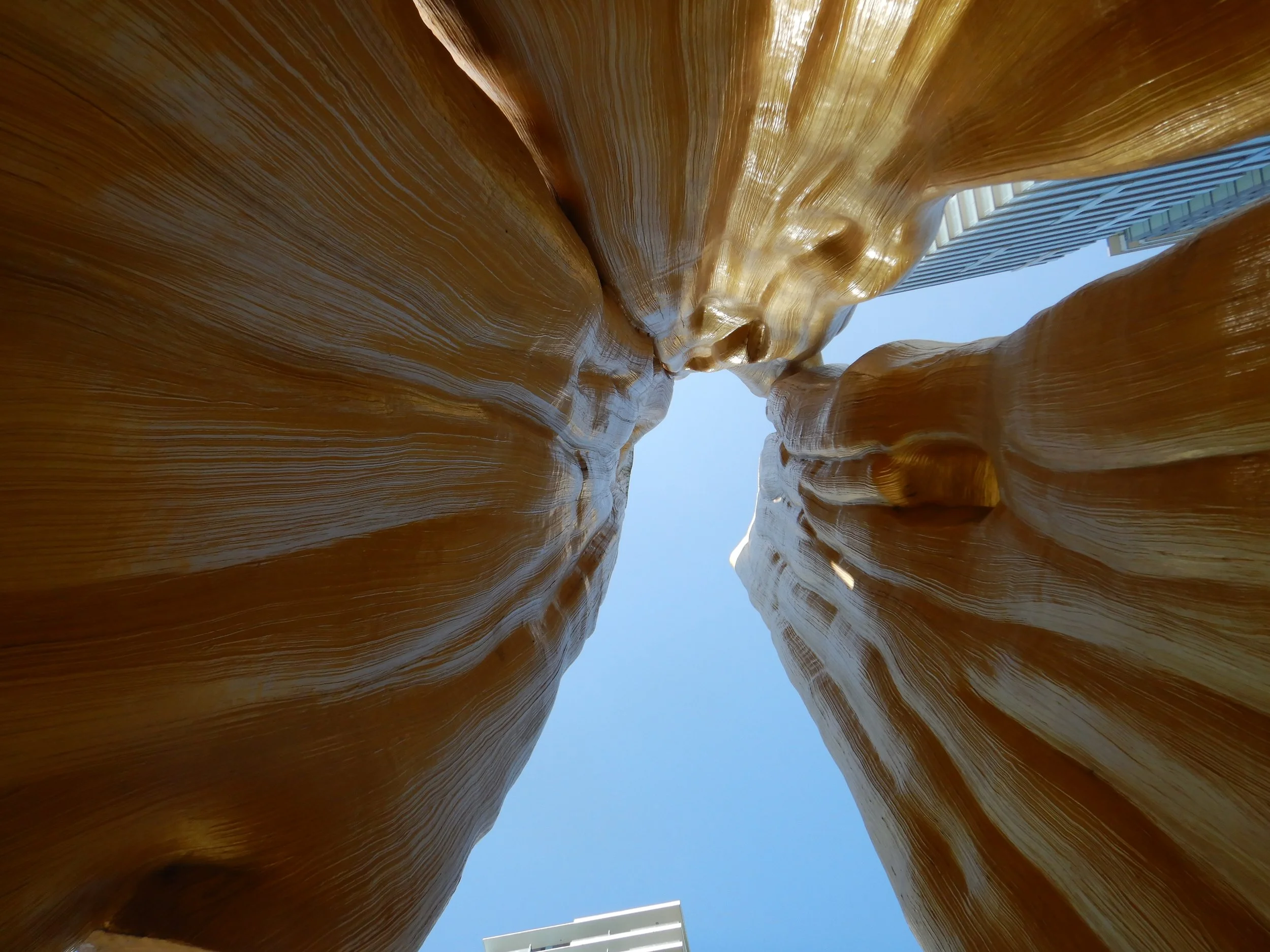
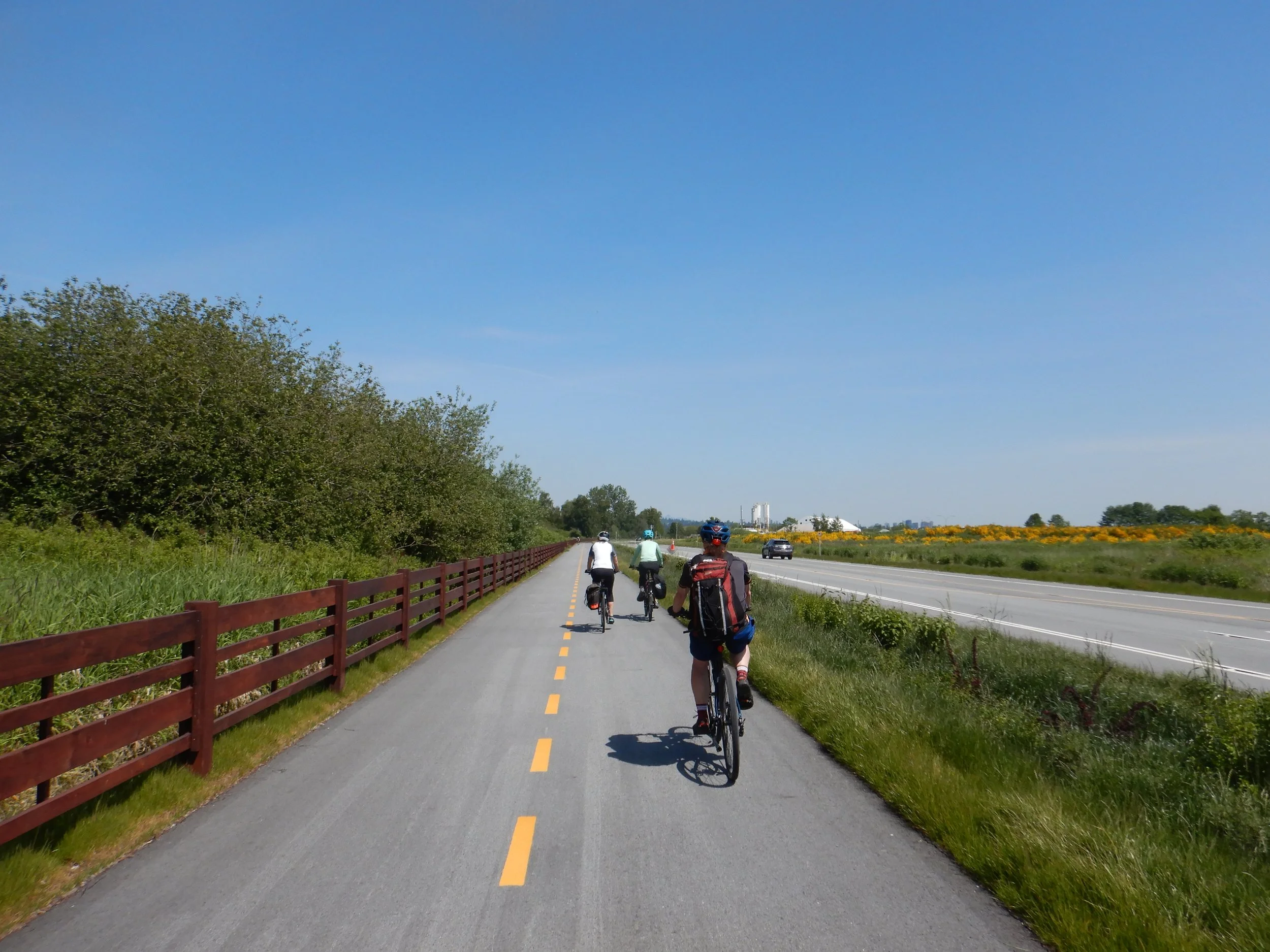
The route across the NW corner of Richmond gets safer with each ride as more and more of the orphaned bike routes are connected alongside the new buildings. We made it to the dyke along the Fraser, passing the Olympic Oval before re-crossing the river and heading for the far too exciting Larry Berg Flight Path Park. We did of course take the opportunity to stand on top of the world and look at planes, as well as fire trucks.
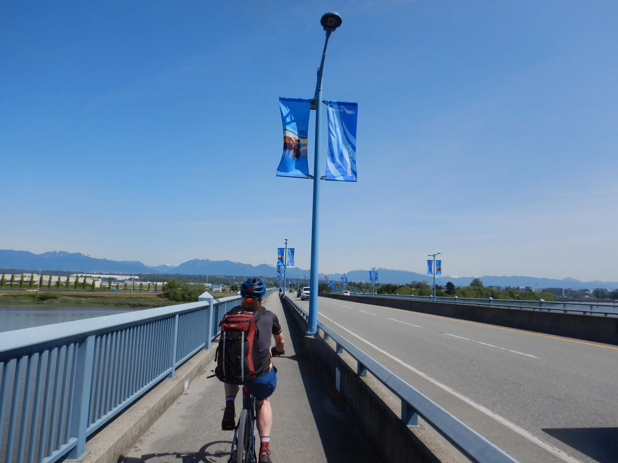
From there it was past BCIT with very awkward fences to be negotiated on what is a marked and recognised bike route. There was no signposted diversion so we just got on with it. Heading west to Iona we picked up the new Multi Use Path (MUP) and what a difference that makes. The trip along the MUP was enlivened by a close encounter with a coyote. We were soon at the start of the 4km spit (sewage outfall pipe) and we headed to the end. Unfortunately the last few yards is now closed off, still we were nearly at the end. That was a good spot for lunch in the sun and we saw seals, herons, eagles and sundry other bits of animal life, before retracing our seps, more or less, to the Canada Line bridge and from there along Prince Edward and all the wonderful garden siren roads of East Van before arriving at Red Truck for a convivial end to a lovely ride.
Here is the 63.4km route from Iain’s Garmin Edge 1040 Solar.