Slhanay Peak Hike, Saturday October 3, 2026
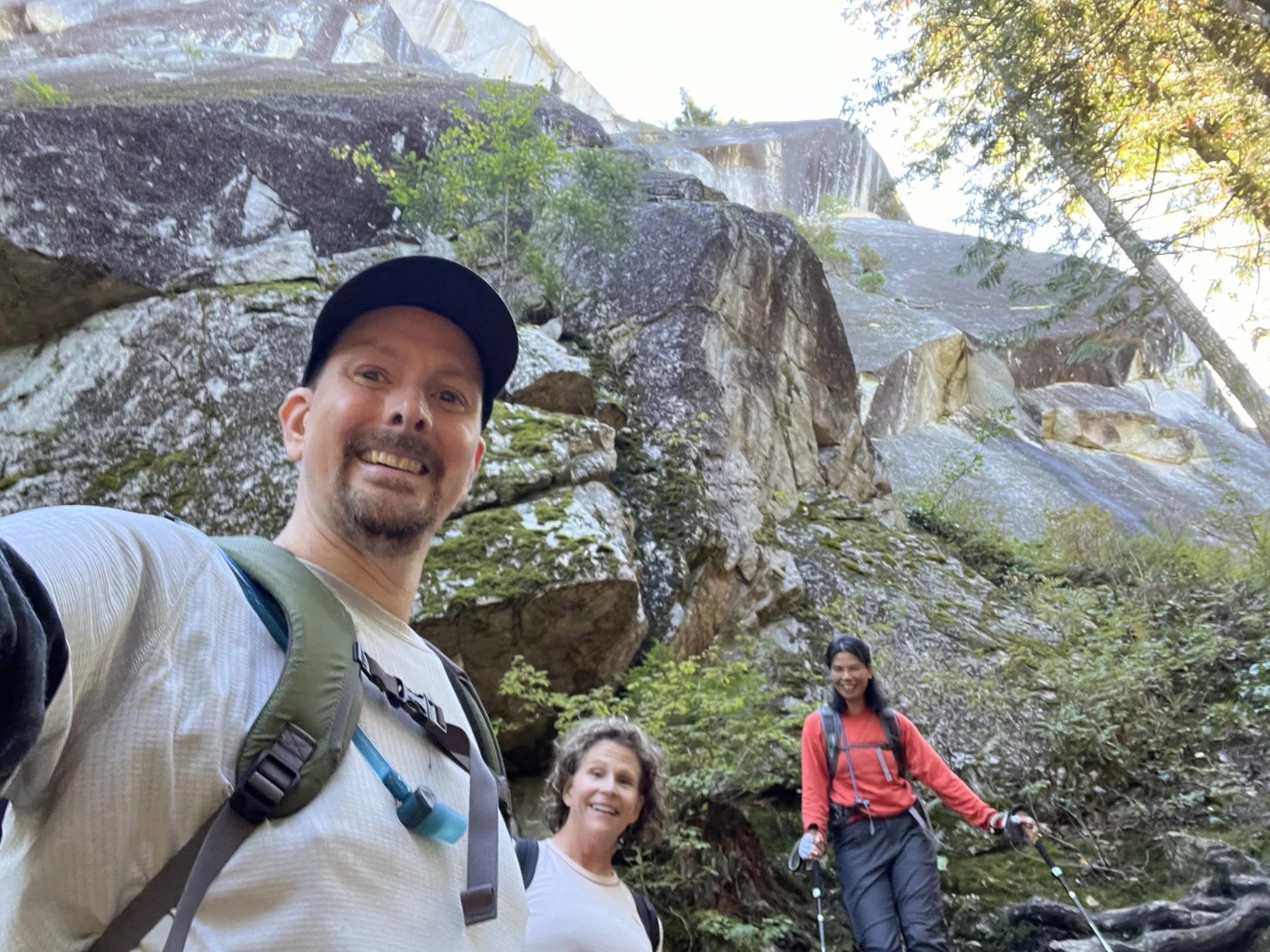
Photo by Pete
Rosa writes:
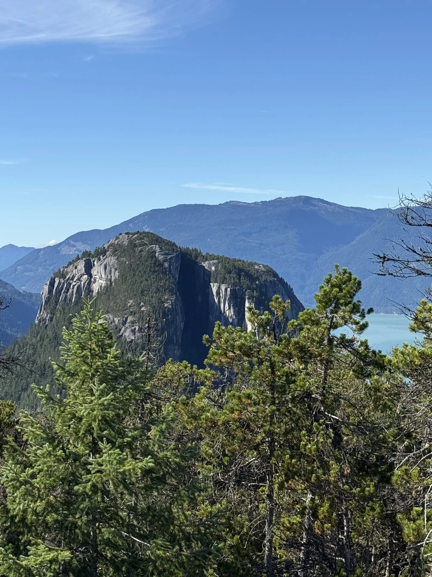
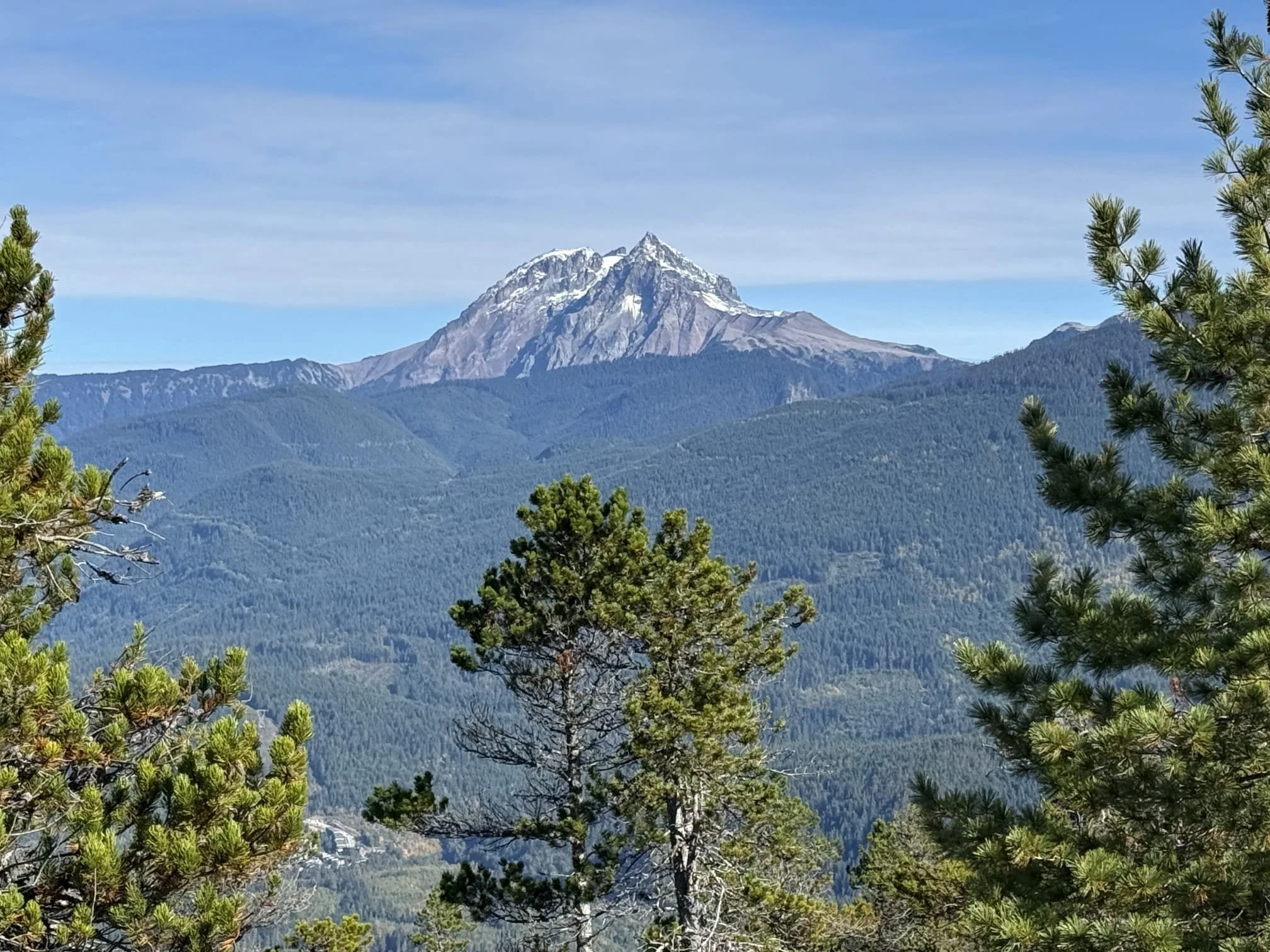
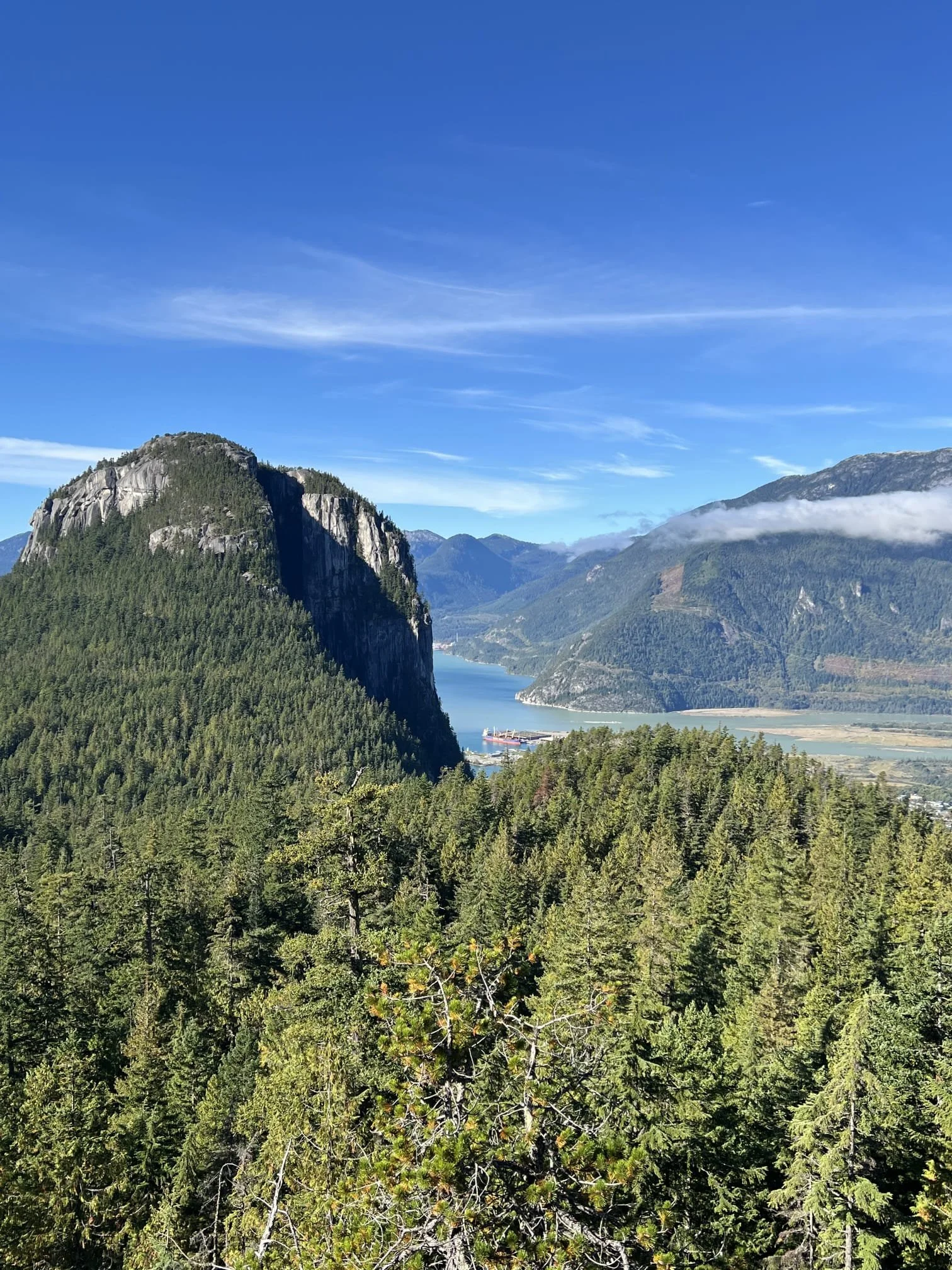
Slhanay Peak (pronounced Sla-nay) offers amazing and unique views of the more famous, and far busier, Stawamus Chief and the Howe Sound. This peak used to be called the Stawamus Squaw, formally changed in 2009 to its current name which means 'woman' in the Stawamus language.
Francine, Pete and I had to climb and scramble up the very steep initial 2 kms, navigating up and over a narrow trail made up of large boulders. Hiking with hands and feet! We all agreed it was challenging but fun.
The trail leveled out to stunning forest with a more gradual incline until we reached Tony's Lookout: The views from Tony's Lookout to the town of Squamish and Howe Sound aren't as open as from the top of the Chief, but getting a different view of that famous rock is special. This lookout is named after UK climber Tony Barley (1947-2009) who published an early climbing guide to Yorkshire. A quick Google search informed me that Barley passed away due to heart disease, waiting for a transplant.
After a quick snack, our trio shouldered packs for the last climb up to Slhanay Peak. This section's challenge wasn't elevation gain or scrambling, but rather with navigation. There are a number of trails and junctions to choose from. If inclined, there is a trail to the Chief. Some of the trails are easy to miss, and sometimes there are three possible trails at a junction.
We enjoyed Slhanay Peak to ourselves, the view of the Chief partially blocked by trees but still incredible to look at it straight on.
When I was preparing the hike info for the NVOC schedule I struggled with the rating for this hike and chose to tag it as a difficult hike. The length is under 7 km with an elevation gain of 626m, mostly at the beginning (and therefore the end). Steep scrambles, boulders and roots that were a bit slippery from recent rain. It's narrow and one side drops off precipitously. The middle section is a moderate hike. Another factor is navigation...it is possible to Choose-Your-Own-Adventure on the many trails that shoot off from the 'main' trail. Some are shared with mountain bikers. I hiked this previously in 2023 and I'd estimate 60% of this hike was on totally different trails. Overall, the route Francine, Pete and I took is on the easier side of a difficult hike.
It took about 4 hours of hiking time roundtrip, plus another hour to enjoy lunch and viewpoints.
"It's like doing squats downhill!" - Francine, describing the hike back to the car
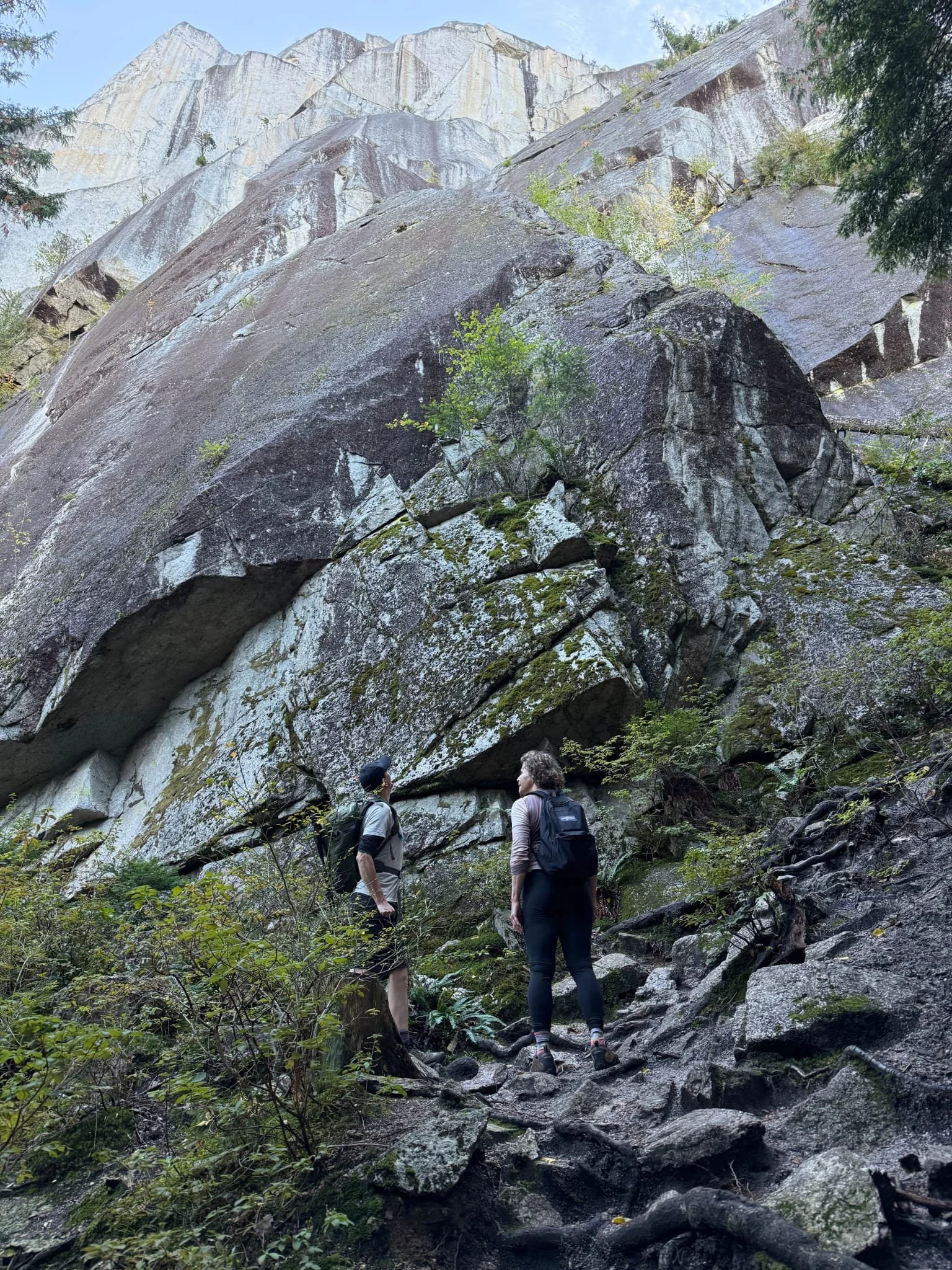
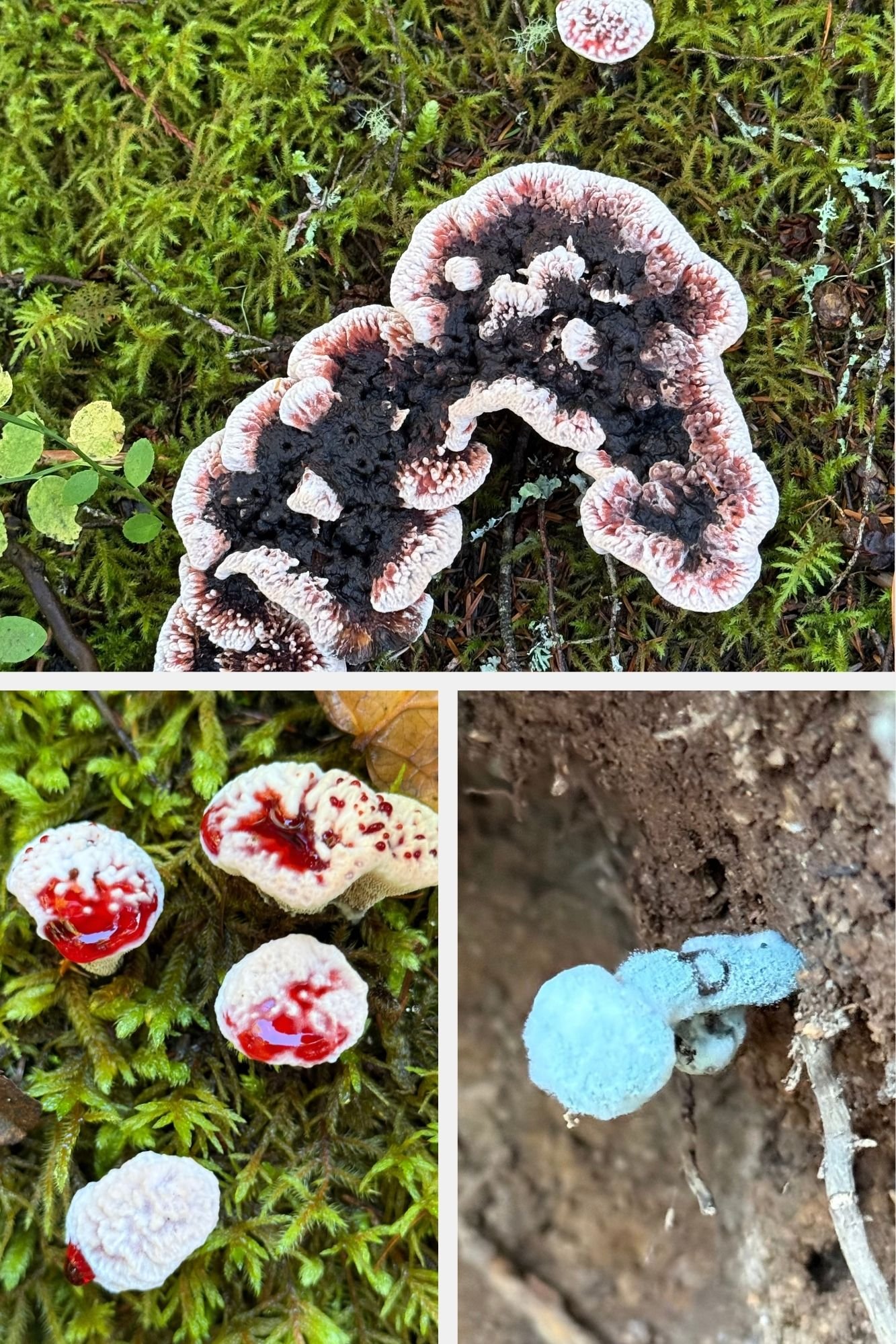
Lots of cool mushroom-spotting... Photo by Rosa