Manning, Skyline 1 and Punchbowl, August 28 - 31 2025
Louise writes:-
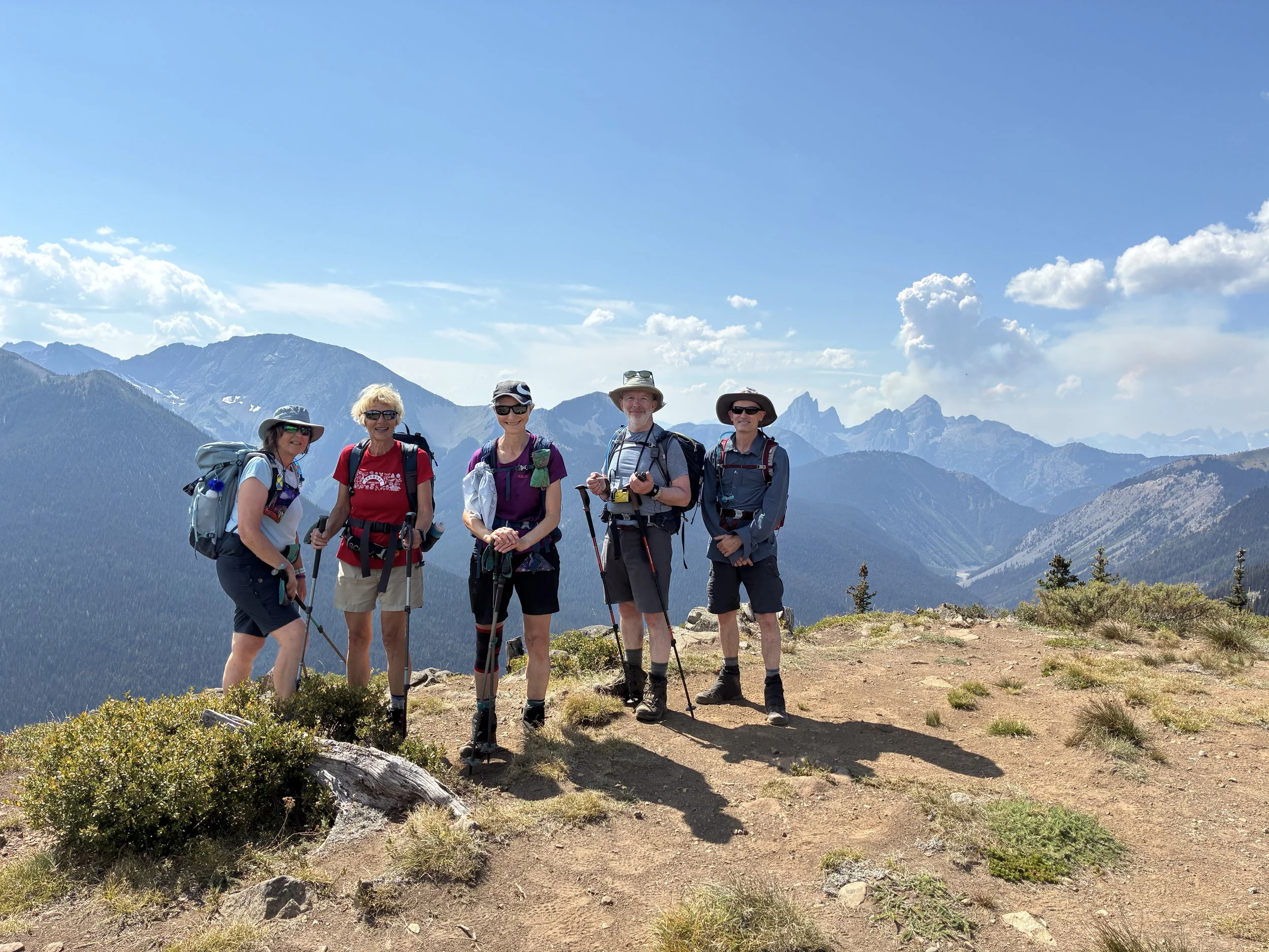
Six of us stayed at the Cuckoo Chalet, Sunshine Valley near Manning Park. Yes, there were cuckoo clocks throughout, lucky for us they were not operating. We really lucked out with the weather the mornings were cool with a pleasant daytime temperature for hiking. There were several wildfires both east and west of Manning Park, fortunately the sky was clear all weekend. However, we could see smoke haze in the distance.


It was a Cracking Day Out, as Wallace & Gromit may well have said, Adrienne’s Strava Screenshot
Skyline 1
Here is the route from Iain’s Garmin GPSMAP67i
Skyline Trail Loop: Distance 20km – Elevation gain 971m
Friday morning, we were up and out early as we’d planned to hike the Skyline Trail Loop. Three of us attempted this hike last summer and for various reasons we didn’t complete the loop. This year we were anxious to finish the 20km trail.
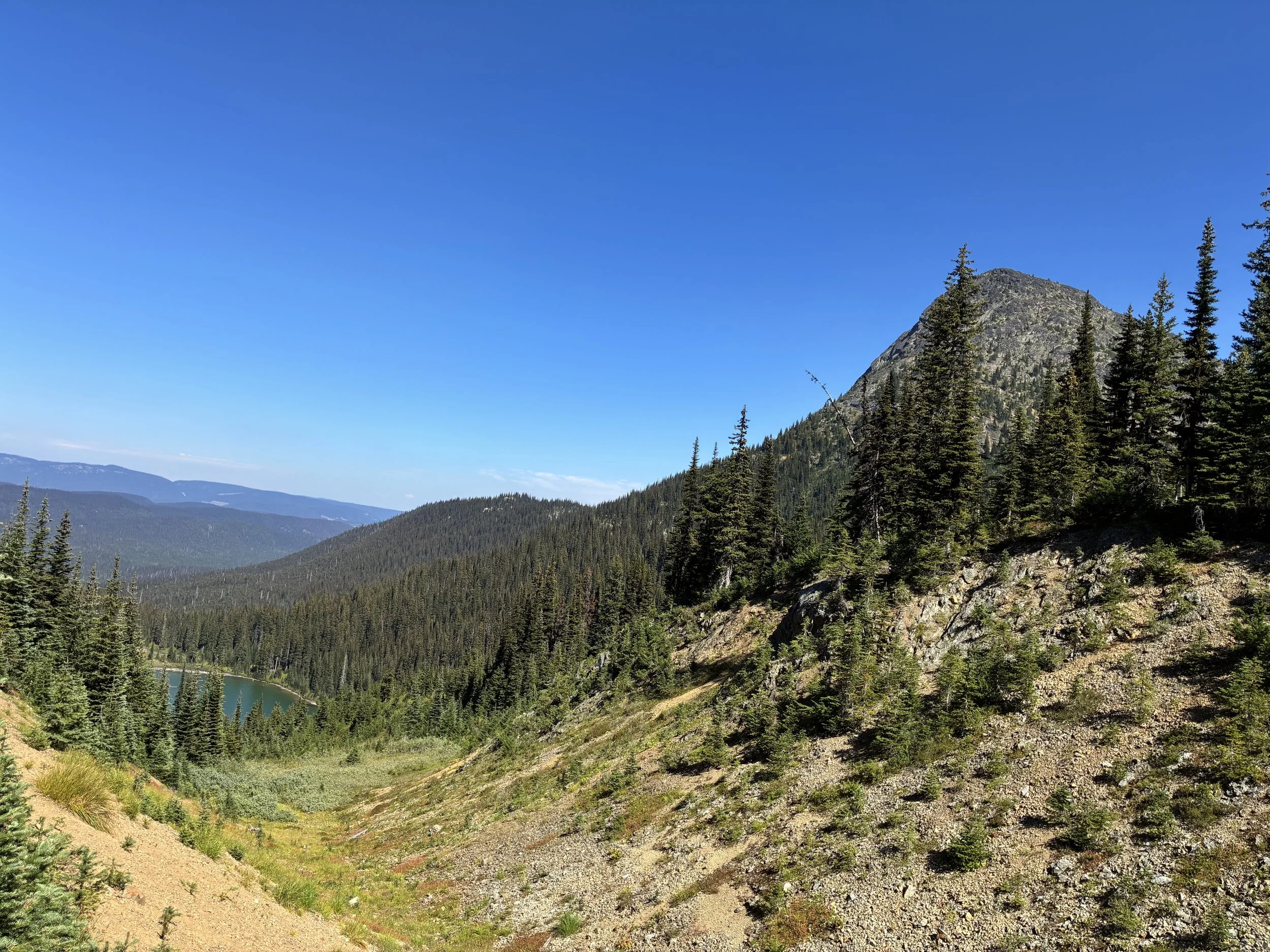
We decided to hike the trail anticlockwise and started at Strawberry Flats although the recommended direction is clockwise. It was a steady climb from the start as we headed into the forest. The path was narrow with loose rock, rocky outcrops and sandy scree. The higher we went the narrow the trail became. Crossing a narrow ledge, which was not for the faint of heart, we accessed the meadows. Unfortunately, the alpine flowers had finished for the season, but the meadows were beautiful in their own way with an abundance of thistles dying off.
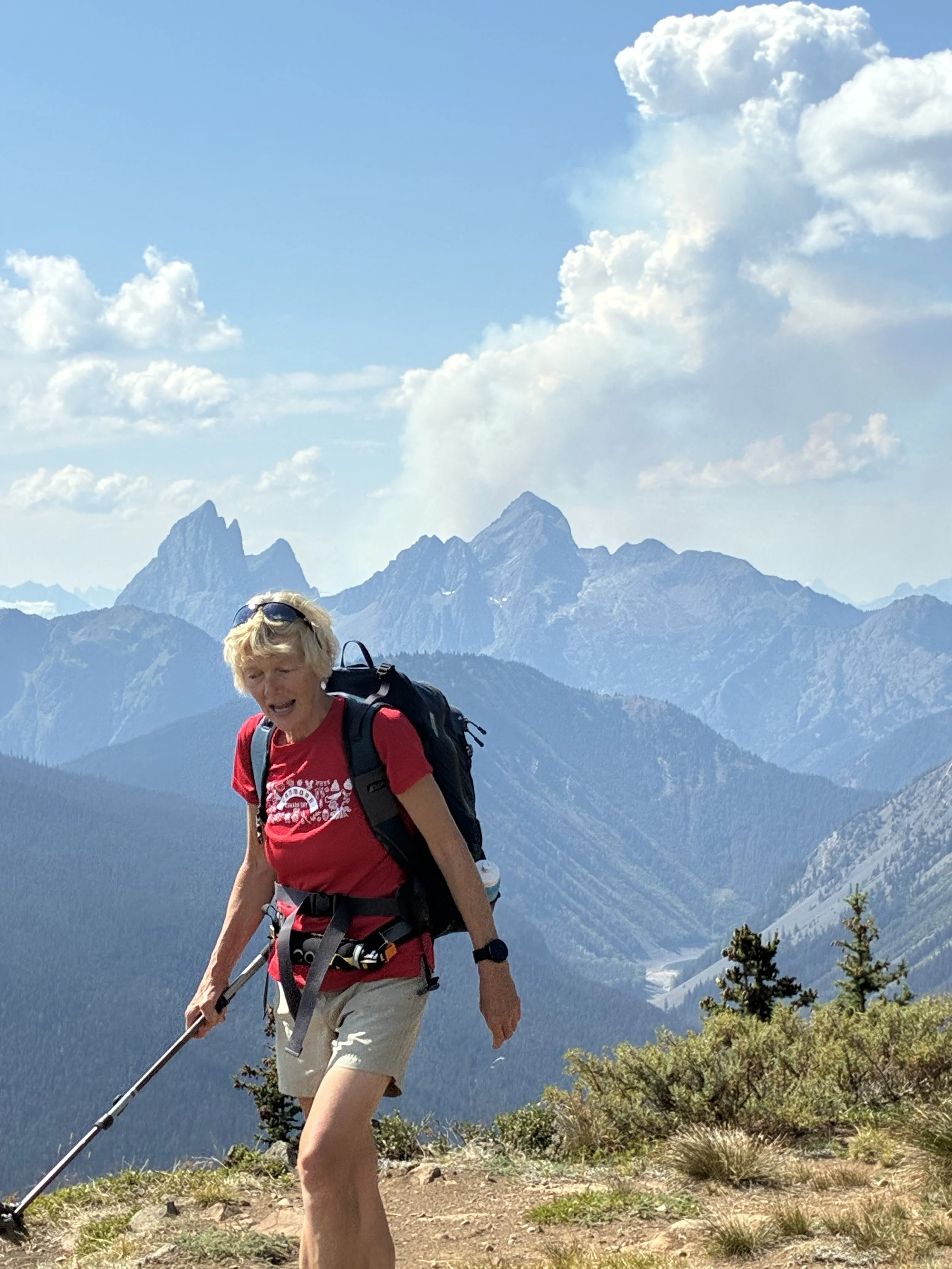
After hiking for 2.5hrs we reached a rocky outcrop where the views were spectacular, looking across the valley we could see the twin towers of Hozomeen Mountain and Castle Peak in Washington. Below we could see Lightning Creek, Strike and Thunder Lake (Canada – US border). Sadly, we could see plumes of smoke from the wildfires in Washington State.
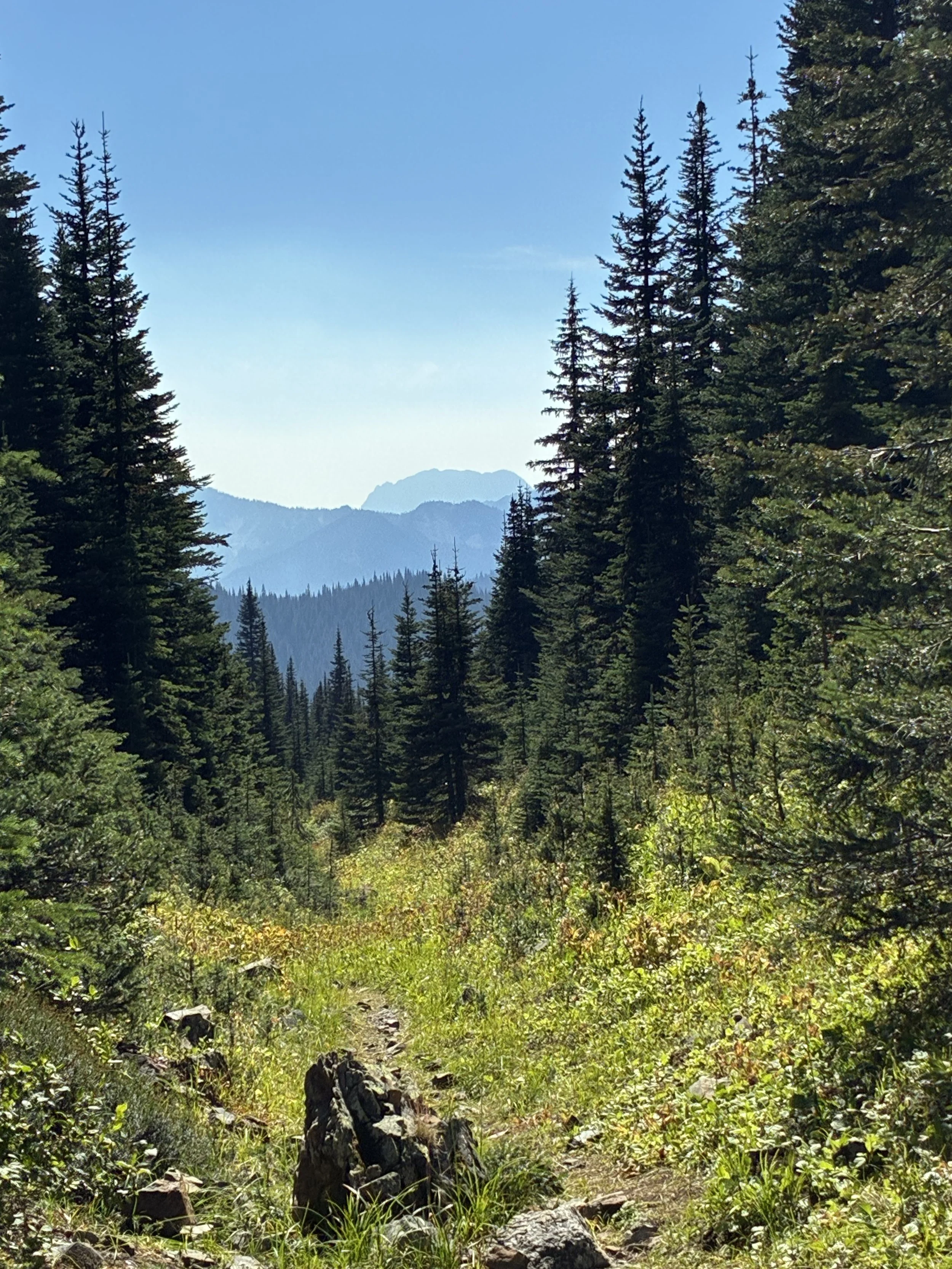
We continued our loop for another 2hrs here the trail was very exposed, and the temperature was climbing eventually we managed to find some bushes where we stopped for lunch and a snooze!
Heading down from the summit the trail was steep, uneventful, and hot with splendid views looking north/east over Manning Park. There are vast areas in the park with trees that have been damaged either by the Pine Beetle or burned by lightning, creating wildfires.
If you are planning to do this hike, we suggest using two vehicles leaving one at Strawberry Flats the other at Lightning Lake to avoid the last long and boring trek back to Strawberry Flats.
Here is the route from Iain’s Garmin GPSMAP67i


Punchbowl
Punch Bowl Pass: Distance 19km – Elevation Gain 1,020m
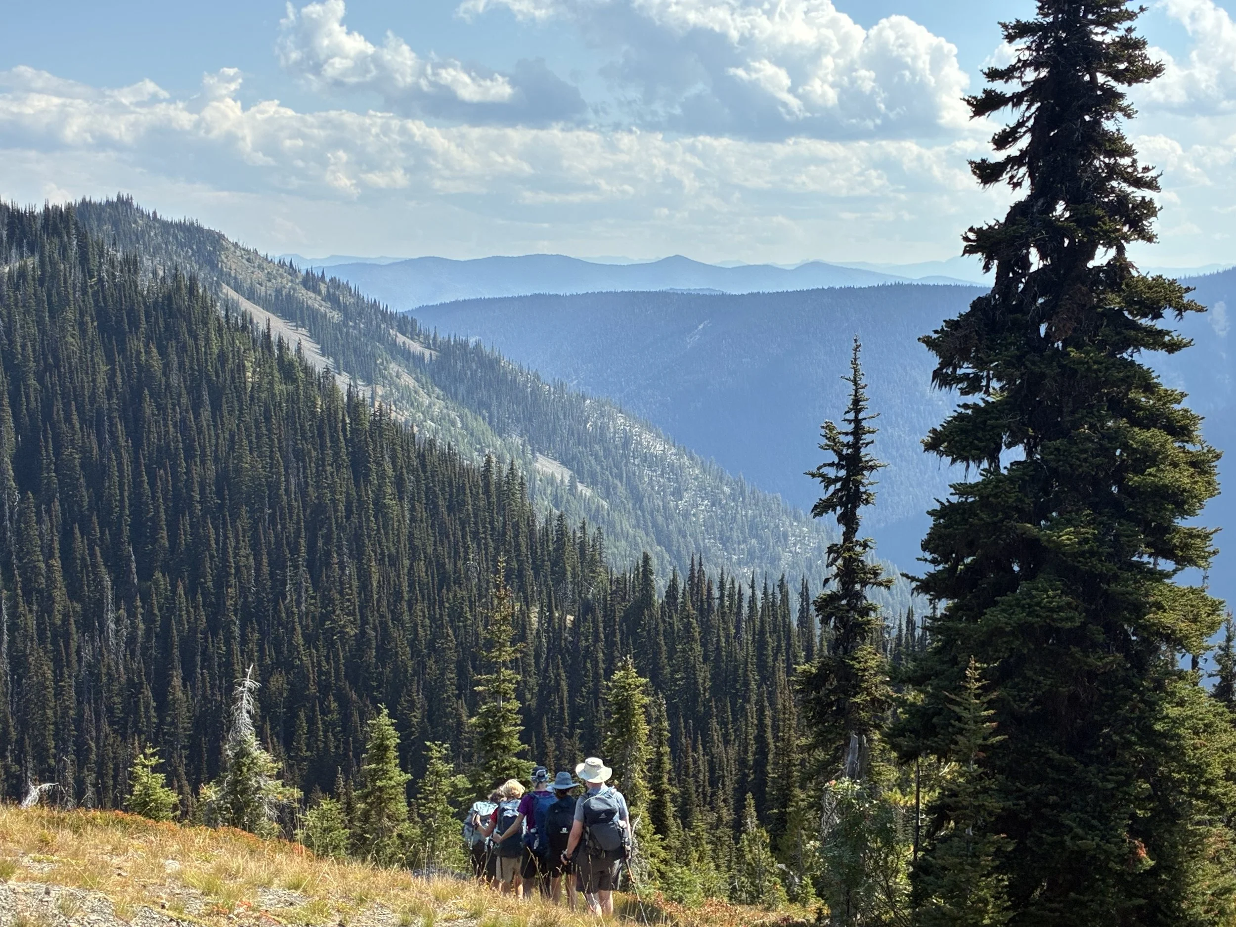
Another early morning start, hiking a trail none of us had done before. It was a very steep climb through a beautiful forest. The forest floor was covered in moss and with the sun shining through the trees the forest floor was a variety of vibrant colours. Hiking up was relentless with numerous switch backs and at times slippery with loose gravel as the terrain was so dry. We hiked for approx. 3.5hrs and didn’t seem to be getting anywhere. The girls decided to have lunch on the trail then head back down. The boys decided to continue to the top which was another 3kms. Onwards and upwards they went, including several river crossings and lots of route finding as the trail was not marked. Iain and Craig enjoyed lunch at the top with wonderful views of the Skagit Range, Spot Marmot and Silvertip mountains and Punchbowl Lake.
We only saw 3 people all day and collectively we wouldn’t do this hike again.
When we got back to Sunshine, The Sunshine Valley volunteer fire department were holding their annual fundraiser. The girls agreed this was a worthy cause to support. After a quick change we headed off to the community center grounds and enjoyed a cold beer listening to a band.
Here is the Punchbowl route from Iain’s Garmin GPSMAP67i